The Golden Circle: Fjords, Alpine Passes & Gold-Rush History
A 600 km loop through the Yukon, BC, and coastal Alaska — one of the North’s great drives.
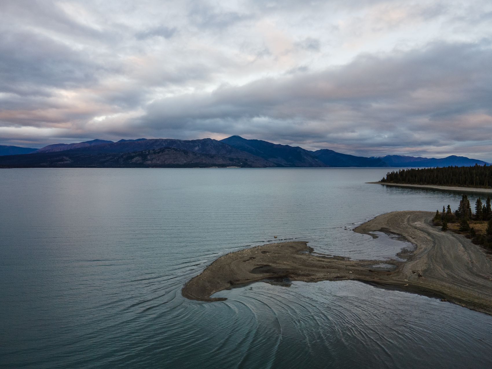
The Golden Circle is one of North America’s most spectacular multi-day driving loops. In roughly 600 kilometres of mostly paved road, it connects white-sand lake beaches, alpine tundra passes, coastal Alaskan fjords, and glacier-carved valleys across the Yukon, British Columbia, and Southeast Alaska. Most travellers take three to five days, and you cross the Canada–US border twice, so passports are essential.
Whitehorse to Skagway
Head south from Whitehorse on the South Klondike Highway. Stop at Emerald Lake for its turquoise marl water and walk the dunes of the Carcross Desert. The road then climbs into the dramatic granite of the White Pass summit, where waterfalls tumble past rusted gold-rush relics into deep blue lakes, before dropping to tidewater at the historic Alaskan port of Skagway.
Skagway to Haines by ferry
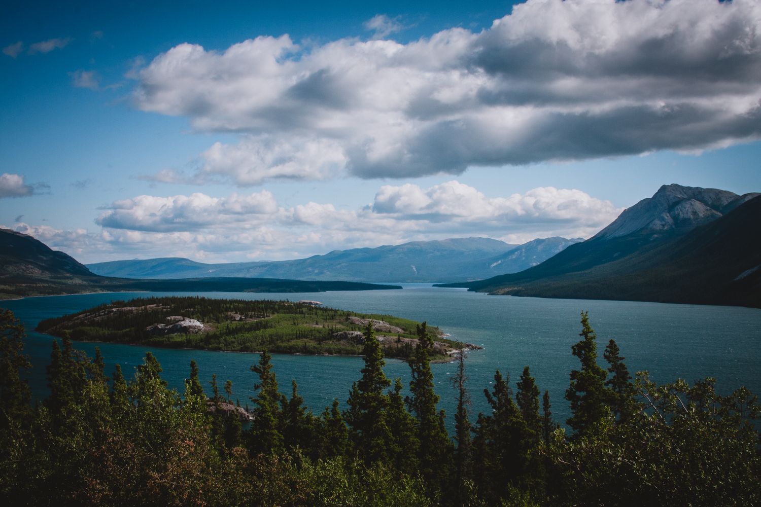
From Skagway, board the Alaska Marine Highway ferry for the roughly one-hour crossing of the Lynn Canal — North America’s deepest fjord — to Haines, watching for humpback whales, sea otters, and bald eagles. Skagway itself rewards a wander past its 1898 false-front saloons and boardwalks.
Haines to Haines Junction
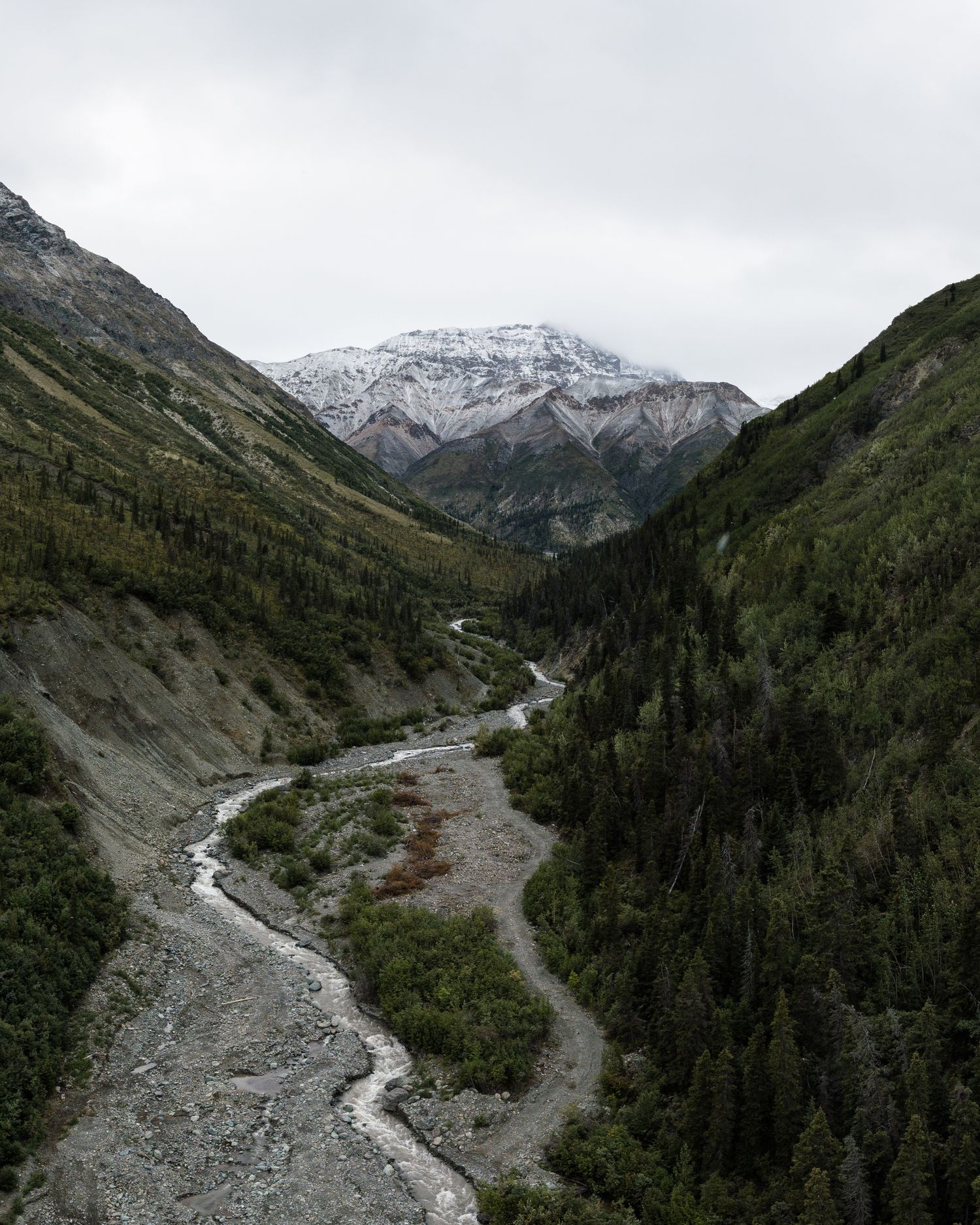
The Haines Highway climbs north through the high, glacier-ringed alpine of the Haines Pass, some of the most dramatic driving on the whole loop, straddling the BC–Yukon border. Near Kluane Lake, stop at Tachäl Dhäl (Sheep Mountain) to scan for Dall sheep before completing the circle back to Whitehorse via Haines Junction.
Planning tips
Book the ferry crossing ahead in summer, carry your passport, and check border-crossing hours. Fuel up in the towns, watch for wildlife on the alpine sections, and allow extra time — the scenery invites far more stops than you expect. Give yourself at least three days; five lets you savour it.