Parcourir la route de l’Alaska : l’itinéraire nordique légendaire
Histoire, déformations du sol et arrêts incontournables sur la route qui a ouvert le Nord.
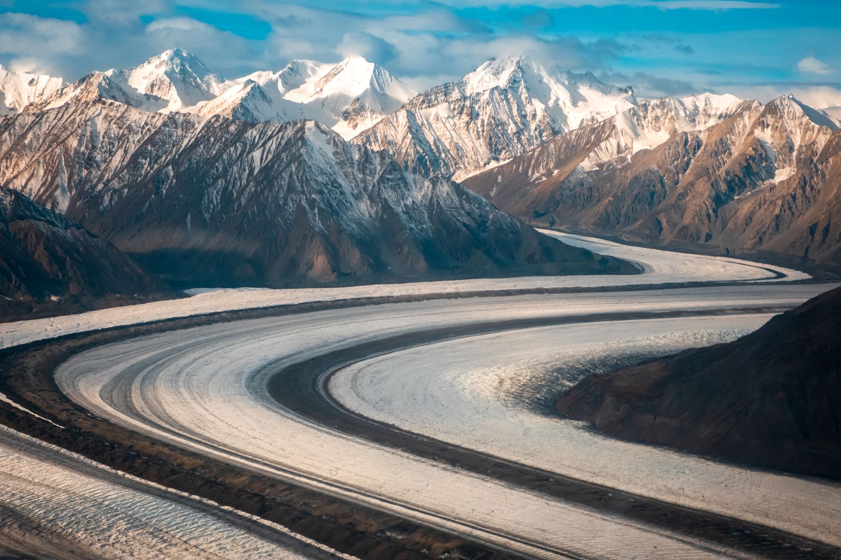
Built in just eight months in 1942 as a wartime supply route, the Alaska Highway remains one of the continent’s great road-trip adventures. Through the Yukon it links Watson Lake, Whitehorse, and Kluane National Park on the way to the Alaskan border — a paved but wild route through hundreds of kilometres of boreal forest, river valleys, and mountains.
A road with a history
The highway was punched through the wilderness by thousands of workers in a remarkable feat of wartime engineering. Today it’s the main overland artery into the territory, and markers, museums, and the famous Watson Lake Signpost Forest along the way tell its story.
Road conditions
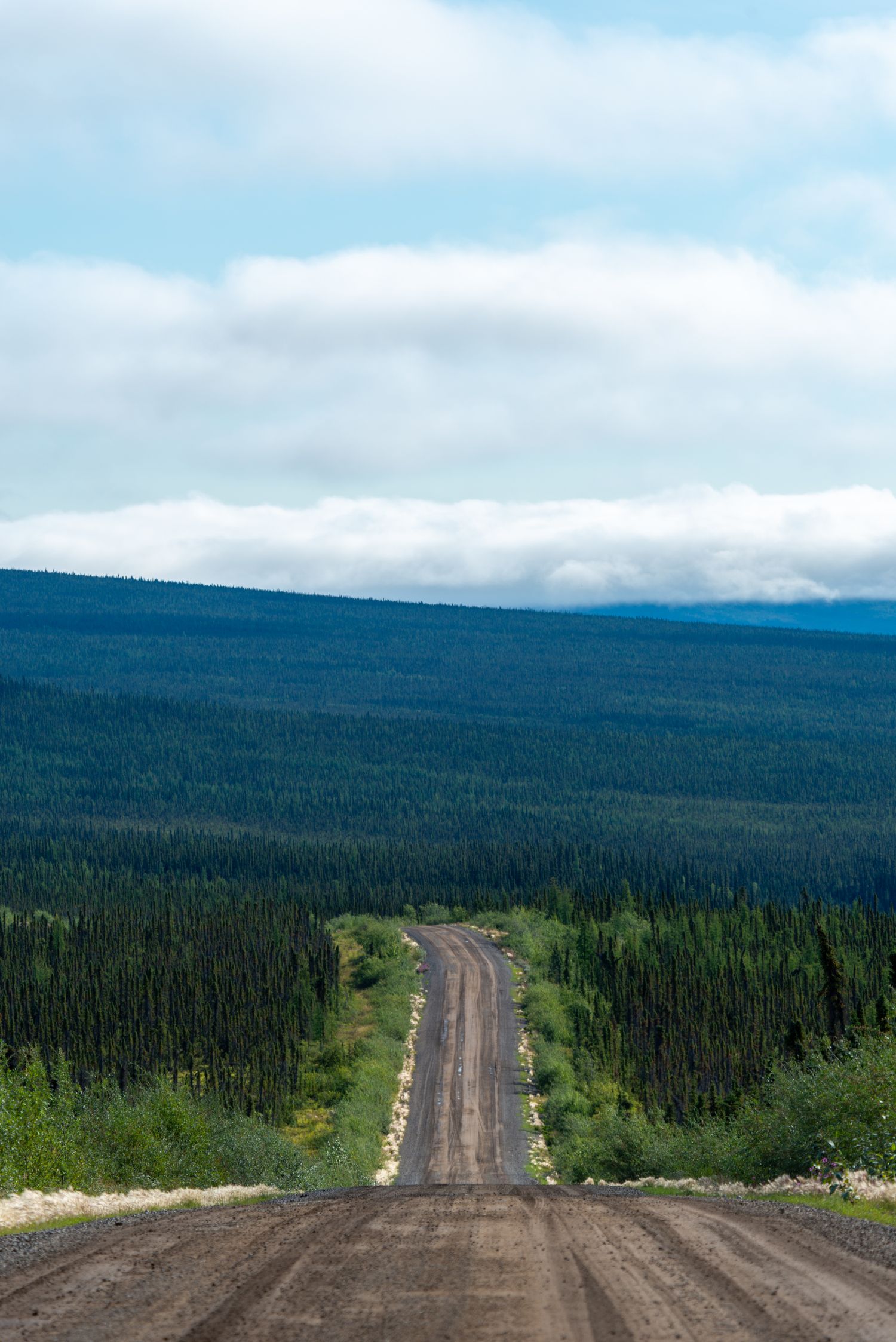
The Alaska Highway is paved, but the North keeps it interesting: watch for “frost heaves,” dips and bumps caused by thawing permafrost beneath the roadbed, along with the occasional gravel construction break. Slow down over crests, keep your distance, and expect the surface to change.
Must-stops in the Yukon
From the southeast, the Watson Lake Signpost Forest is the classic first stop, with over 80,000 signs. Whitehorse is the natural hub for a rest and resupply. West of the capital, the highway skirts Kluane National Park and Kluane Lake, with Tachäl Dhäl (Sheep Mountain) and Haines Junction offering hikes, wildlife, and flightseeing before the road continues toward Beaver Creek and the border.
Preparation
Fuel up whenever you can, carry a good spare tire and basic supplies, and watch for bison, bears, and moose on the road, especially at dawn and dusk. Cell coverage disappears between towns, so download maps and tell someone your plan. Take it slow — the highway rewards the unhurried.