Randonner la piste Chilkoot : les « 33 milles les plus rudes de l’histoire »
L’itinéraire des chercheurs d’or, devenu le plus long musée en plein air.
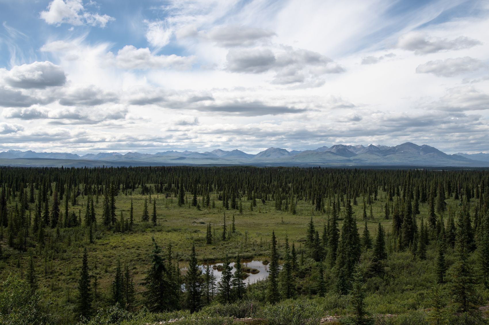
Over 120 years ago, tens of thousands of hopeful prospectors hauled a literal ton of gear up the steep, boulder-strewn slopes of the Chilkoot Pass during the Klondike Gold Rush. Today the Chilkoot Trail is a world-renowned backcountry hike — sometimes called “the meanest 33 miles in history” and “the world’s longest museum” — where artifacts still line the route. Here’s what it takes to walk in the stampeders’ footsteps.
The history underfoot
In 1897–98, the North-West Mounted Police required each prospector to bring roughly a year’s supplies — about 2,000 pounds — before crossing into Canada. That meant relaying loads up the pass again and again, over the infamous “Golden Stairs” cut into the snow. The trail is littered with what they discarded: boots, stoves, cables, and rusted tools, protected today as a cross-border historic site.
The route
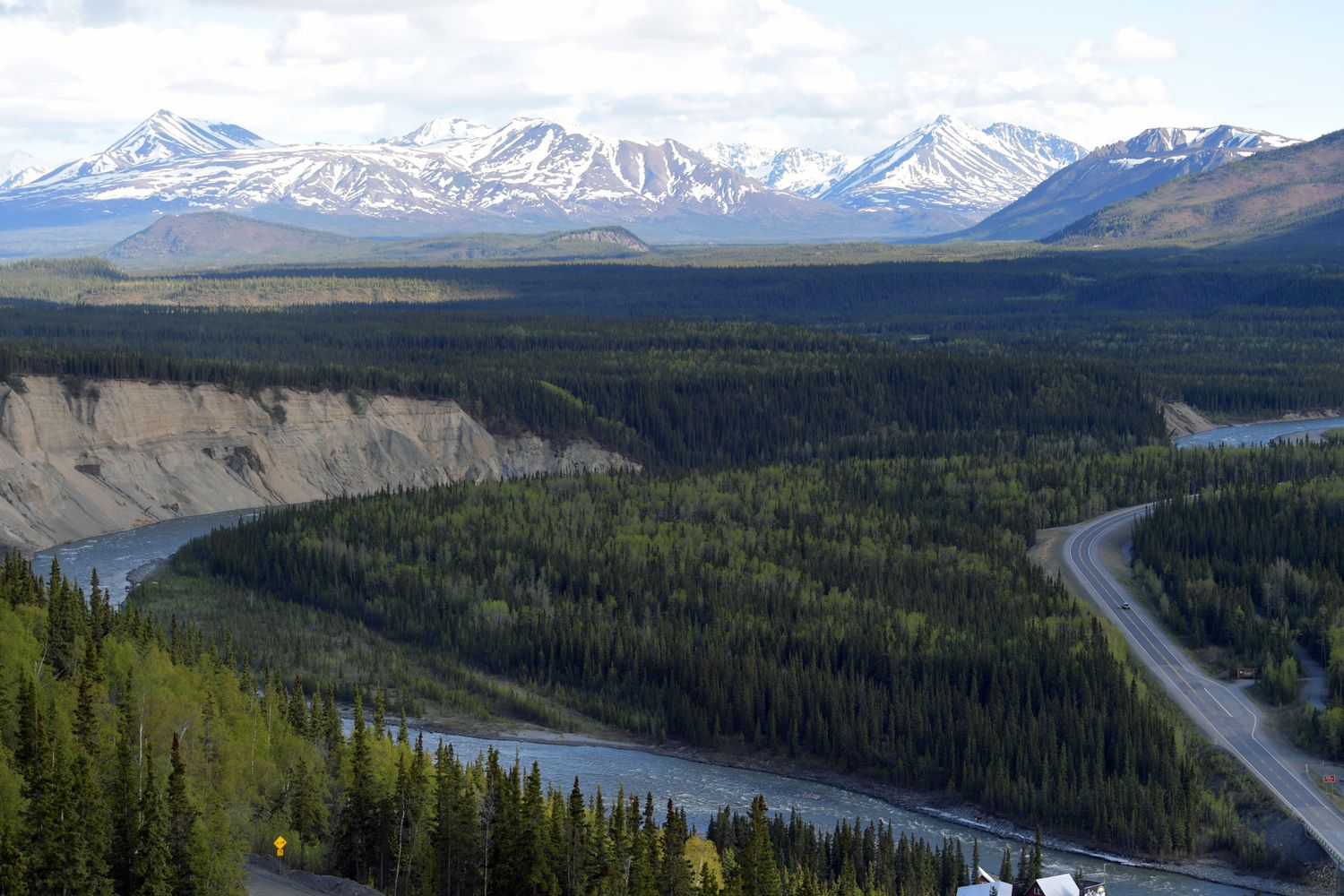
The classic hike runs roughly 53 kilometres from Dyea, near Skagway, Alaska, over the Chilkoot Pass and down to Lake Bennett in British Columbia, typically over three to five days. It climbs from coastal rainforest through subalpine to the stark, often snow-streaked summit, then descends through lake country. The summit-day scramble up the Golden Stairs is the crux — steep, rocky, and weather-exposed.
Permits and logistics
This is a managed wilderness route: hikers need permits, and numbers are capped, so book well ahead through the parks agencies that jointly run the trail. You’ll cross an international border on foot, so carry proper documents and follow customs procedures. Many hikers ride the White Pass railway or a bus back from Bennett.
Preparation
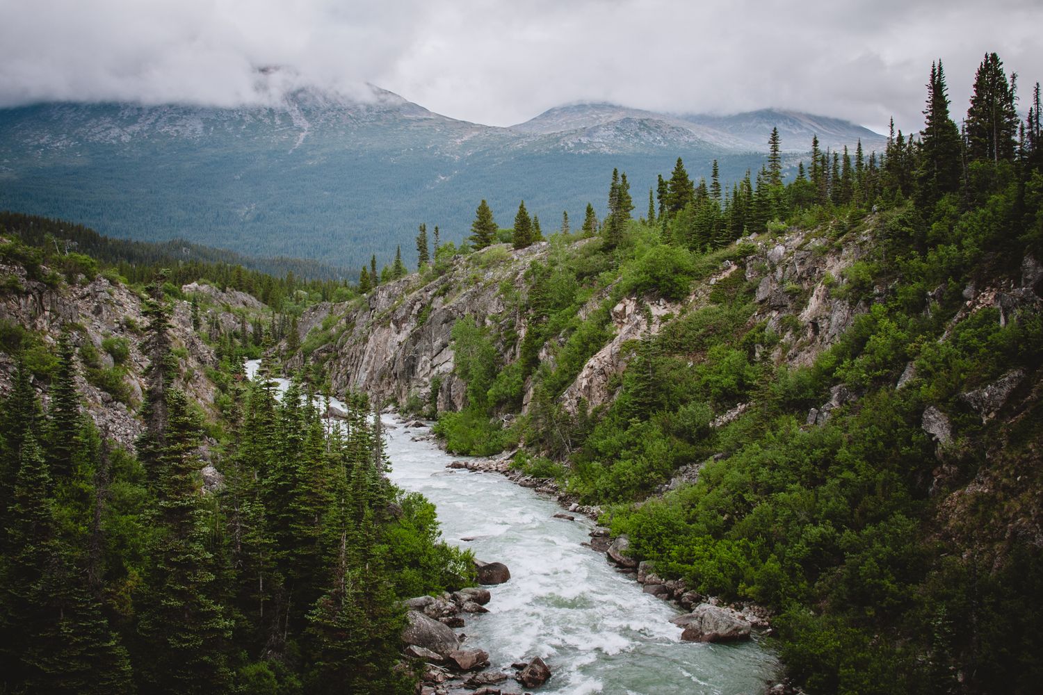
You must be fit and self-sufficient, carrying all your gear, camping at designated sites, and prepared for cold, wet, and rapidly changing mountain weather even in summer. Good boots, a reliable pack, and layered clothing are essential. Read the current trail conditions and respect the artifacts — look, photograph, but never take.
Why do it
Few hikes combine world-class scenery with such vivid, tangible history. Walking the Chilkoot, you feel the desperation and determination of the stampeders in a way no museum can convey — a demanding, unforgettable journey through the very heart of the gold-rush story.