Latitude 66°33′ Nord : tout savoir sur le passage du cercle arctique
Le panneau, la route, les temps de trajet et la photo souvenir mythique.
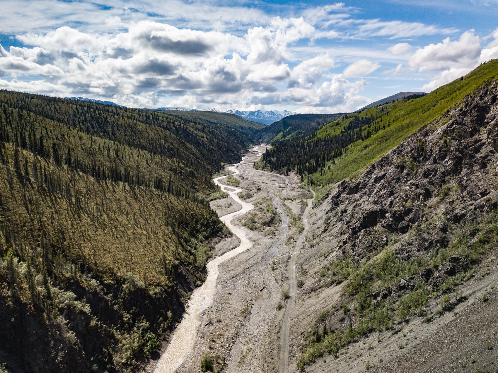
There’s a distinct moment when you cross Latitude 66°33′ North — the imaginary line marking the edge of the Arctic. The trees shrink, the horizon widens, and the feeling of remote wilderness doubles. Reaching the Arctic Circle is a genuine milestone, a badge of honour for overland travellers. Here’s how to make the trip, what to pack, and where to take that iconic photo.
How to get there
From the Yukon, the classic route is the Dempster Highway, which begins near Dawson City and is Canada’s only public road to cross the Arctic Circle. The signposted crossing lies roughly 400 kilometres up the Dempster, past Tombstone Territorial Park and the outpost of Eagle Plains. Many travellers make Eagle Plains their base and drive the final stretch to the sign from there.
The Arctic Circle sign
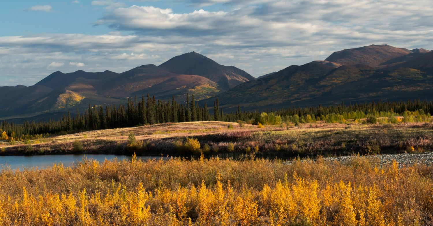
The crossing is marked by an interpretive sign and pull-out — the spot for the milestone photo. Standing there, with tundra rolling away in every direction and often not another vehicle in sight, the sense of remoteness is profound. Some visitors continue much further north to Inuvik and even Tuktoyaktuk on the Arctic Ocean, but reaching the Circle itself is the classic goal.
What it takes
This is a serious wilderness drive on gravel. Carry at least one good spare tire (two is wiser), extra fuel, food, water, and warm clothing for any season. Services are limited to Dawson, Eagle Plains, and communities further north, and there’s no cell coverage for long stretches. Check road and ferry conditions, and tell someone your route and timing.
When to go
The Dempster is generally drivable from June through September; shoulder seasons risk snow, and rain can turn the road to slick clay. Summer’s long daylight — including the midnight sun this far north — makes for easy, flexible driving, while late August adds tundra colour.
Beyond the photo
The journey is the reward. The drive up delivers Tombstone’s peaks, sweeping tundra, caribou and bears, and a growing sense of being somewhere truly wild. The Arctic Circle sign is the punctuation mark on one of the great road trips left in North America.
Cross the line, take the photo, and stand a moment in the silence — you’ll have reached a place that, for most of human history, only a few ever saw.