 Le Yukon
Dix-neuf points de chute au Yukon
De Whitehorse au bout de la route à Old Crow — chaque zone que nous couvrons, avec des tarifs de départ honnêtes.
Whitehorse
2 Zones
Downtown Whitehorse
La trame compacte entre Main Street et la rivière — le point de départ obligé de tout voyage au Yukon, que vous l’ayez prévu ou non.

Whitehorse
Tout Whitehorse au-delà du centre-ville, des quartiers de la ville jusqu’aux secteurs plus ruraux en périphérie. Plus de 70 % des Yukonnais vivent à Whitehorse.
Lacs du Sud
4 Zones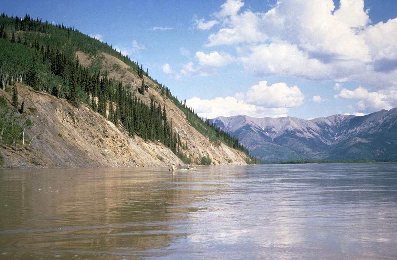
Marsh Lake
Territoire de chalets à 40 km au sud de Whitehorse — cygnes au printemps, pêche blanche en hiver, cabanes tranquilles toute l’année.
Carcross
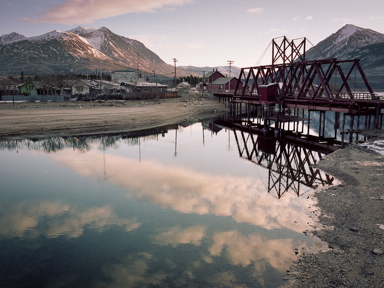
Petit village lacustre à 75 km au sud de Whitehorse — le désert de Carcross, le Bennett Lake et le train du White Pass.

Tagish
Communauté de chalets endormie sur la Six Mile River, à mi-chemin entre Whitehorse et Carcross — cabanes et silence.

Teslin
Communauté tlingit de l’intérieur au bord du lac Teslin, à mi-chemin entre Whitehorse et Watson Lake sur l’Alaska Highway.
Kluane et St. Elias
4 Zones
Haines Junction
Petite ville aux portes du parc national Kluane — montagnes, glaciers et la meilleure boulangerie du territoire.

Destruction Bay
Hameau balayé par les vents au bord du lac Kluane — station-service et vue saisissante, à 100 km à l’ouest de Haines Junction.

Burwash Landing
Petite communauté de la Kluane First Nation à 15 km après Destruction Bay — musée, lac et la plus grande batée à or du monde.

Beaver Creek
Communauté la plus à l’ouest du Canada, à 30 km de la frontière avec l’Alaska — un arrêt routier, ni plus ni moins.
Klondike et Dawson
5 Zones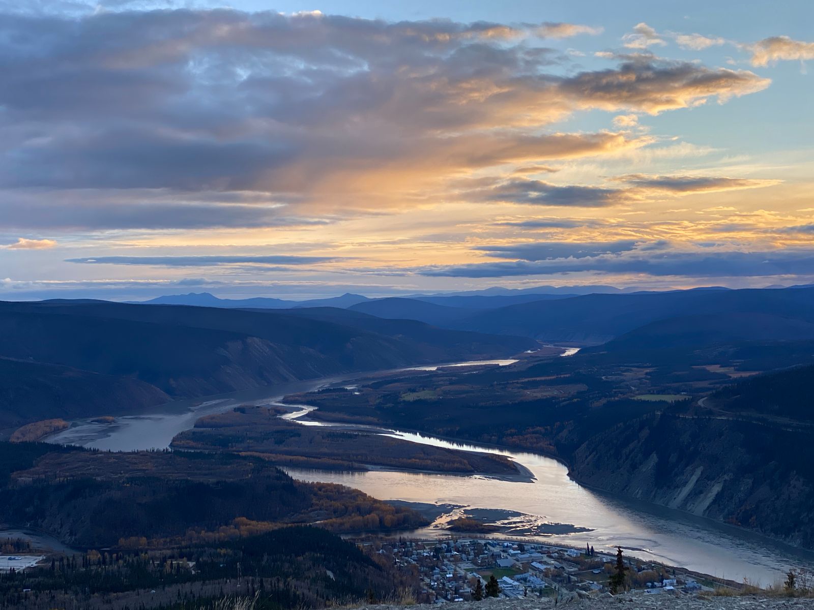
Dawson City
La ville de la ruée vers l’or du Klondike, au confluent du Yukon et de la rivière Klondike — encore boueuse, encore théâtrale, toujours amusante.

Mayo
Ancien port de vapeurs et ville minière d’argent sur la rivière Stewart, à 400 km au nord de Whitehorse — calme, reculée, historique.

Keno City
Ancienne petite ville minière d’argent au bout du Silver Trail — 20 habitants, un hôtel, la mythique colline aux panneaux.

Carmacks
Village de la Klondike Highway sur le Yukon, à mi-chemin entre Whitehorse et Dawson — essence, repas, nuit.

Pelly Crossing
Communauté Selkirk First Nation sur la Klondike Highway à la rivière Pelly — le site historique de Fort Selkirk tout près.
Nord du Yukon et Dempster
4 Zones
Faro
Ancienne ville minière du centre du Yukon — calme aujourd’hui, mais des paysages grandioses et le sanctuaire des mouflons de Fannin à proximité.

Ross River
Communauté kaska à la confluence des rivières Ross et Pelly — reculée, tranquille, profondément yukonaise.

Watson Lake
Ville-porte sur l’Alaska Highway près de la frontière de la C.-B. — foyer de la Sign Post Forest, à 450 km à l’est de Whitehorse.

Old Crow
Seule communauté du Yukon accessible uniquement par avion — Première Nation Vuntut Gwitchin, au nord du cercle arctique, à 800 km de Whitehorse.
Chaque séjour réservé via Le Yukon finance une tonne vérifiée de retrait de carbone — même chambre, même prix, l'action climatique déjà intégrée au paiement.
Vous ne payez pas plus et l'hôtel n'est pas moins payé. C'est simplement ce qui se passe quand vous réservez.